Close
Volcanoes
In 1802, the German scientist Alexander von Humboldt named a route in the Andes Mountain Range “Avenue of the Volcanoes.” This route crosses Ecuador, where several volcanoes are aligned from north to south and are located close to one another, creating an impressive natural spectacle that begins in the province of Imbabura and ends in Azuay.
This geographical feature is of great importance and is considered one of the main representations of Ecuador’s natural beauty and biodiversity.
Visitors to this tourist destination come to explore its volcanoes, enjoy the landscapes, and discover the local culture.
In the Pichincha province, the Pan-American Highway (E35 Road) primarily connects the cantons (district) of Mejía, Rumiñahui, Cayambe, and Pedro Moncayo, where you can find various natural attractions of the Avenue of the Volcanoes.
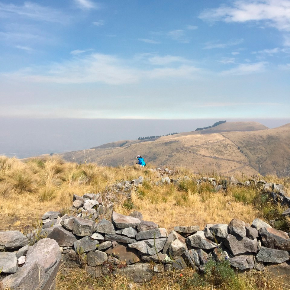
“Qhapaq Ñan – UNESCO World Heritage List, is an extensive Inca communication, trade and defence network of roads and associated structures covering more than 30,000 kilometres. Constructed by the Prehispanic Andean communities over several centuries, the network reached its maximum expansion in the 15th century, during the consolidation of the Tawantinsuyu, when it spread across the length and breadth of the Andes.” (UNESCO – Brief Synthesis)
Located in Cangahua Village. (35 minutes car distance from Molino San Juan Hacienda).
Duration time: 3 – 4 hours

Third tallest volcano in Ecuador, and the only major mountain in the world where the summit is crossed by the equator line, which divides the northern and southern hemispheres. Indeed, it is the only snow-capped mountain directly on the equator. In 1880, British adventurer Edward Whymper and his Italian guides Jean-Antoine and Louis Carrel became the first people to climb Cayambe volcano in Ecuador. The expedition was supported by Roberto y Antonio Jarrin. (II Generation)
Distance from Molino San Juan: 15 miles (24 km)
Duration time: 4 – 5 hours
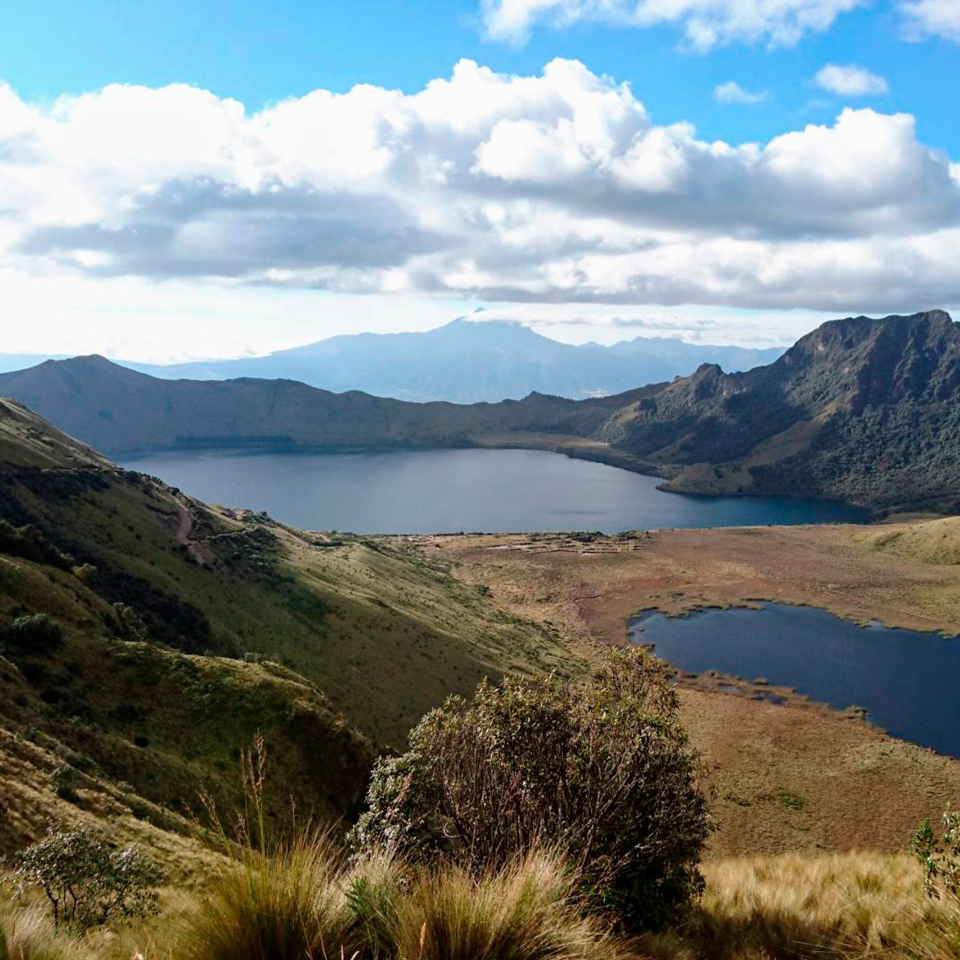
This complex of three lakes is found surrounded by elevated mountains like Fuya Fuya that is a favorable place for acclimation, because of this many climbers visit before ascending higher mountains. Fuya Fuya forms part of a complete volcano known in its totality as Mojanda. Today the volcano Mojanda is a great cauldron of 5 km in diameter and there is in the center a lake (Karikucha or masculine lake) together with two other smaller (Yanakucha o black lake, and Warmikucha or feminine lake).
Distance from Molino San Juan Hacienda: 19 miles (30 km).
Duration time: 2 – 3 hours

Head 11,2 miles west from Cotacachi and you’ll come upon this eerily still, lagoon cradled in a collapsed volcanic crater at 10.171 f.a.s.l . (3.100 m.a.s.l.) Some 3km wide and 200m deep, the lagoon features two mounded islands that shot up in later eruptions. The islands look like the backs of two guinea pigs, hence the name: ‘cuicocha’ means ‘guinea pig lake’ in Kichwa. A short path leads up from the parking area near the entrance to several viewpoints.
It’s definitely worth doing the around-the-lake hike. Referred to as Sendero Las Orquideas – it begins just past the final viewpoint – it follows the ridgeline high above the lake shore.
Distance from Molino San Juan Hacienda: : 23 miles (37 km) / One hour car distance.
Mobile: (593 9) 9 2753 087
Hacienda: (593 2) 2140 478
Mobile: (593 9) 9 9 450 864
Email: info@molinosanjuan.com